Emily Zhou

Masters of City Planning Candidate at University of Pennsylvania
This site is maintained by emilyzhou112.
Welcome To My World of GIS, Planning, and Design!
GIS for Planning and Policy
This section of the portfolio highlights projects that use geospatial analysis and modeling to address urban planning, public health, and environmental challenges. Key projects include optimizing EVSE site selection, predicting home prices, analyzing transit-oriented development, and modeling crime and opioid overdose risks.
Open Source GIScience Analysis
This section of the portfolio features project that apply advanced spatial statistics and focus on reproducibility in health and hazards geography. Using open-source tools like R, Python, and PostgreSQL, these projects cover topics such as disease prediction with remote sensing, COVID-19 healthcare access, water vulnerability in Tanzania, and social media analysis for disaster response。
Cartographic and Urban Design
This section of the portfolio highlights a series of cartographic and design projects that explore historical and contemporary landscapes through visualizations. The works include detailed reproductions of historic Philadelphia street scenes, architectural studies of buildings in Burlington, and mapping exercises focusing on accessibility, conservation, and sustainable development.
Big Data Visualization
This section showcases projects focused on visualizing and analyzing large datasets, using interactive dashboards and generative art. Highlights include an interactive COVID-19 dashboard that tracks national and state-level trends using D3.js, a generative art sketchbook explores creative coding, and the EarthQuaker Dashboard visualizes global seismic activities using real-time data.
Reflections on Geospatial Research
This section delves into key reflections on the evolving landscape of geospatial research. The discussions cover the transformative role of open-source GIScience, the importance of reproducibility, uncertainty, as well as the ethical considerations in geographic research, particularly within contexts like vulnerability modeling and Volunteered Geographic Information (VGI) during crises.
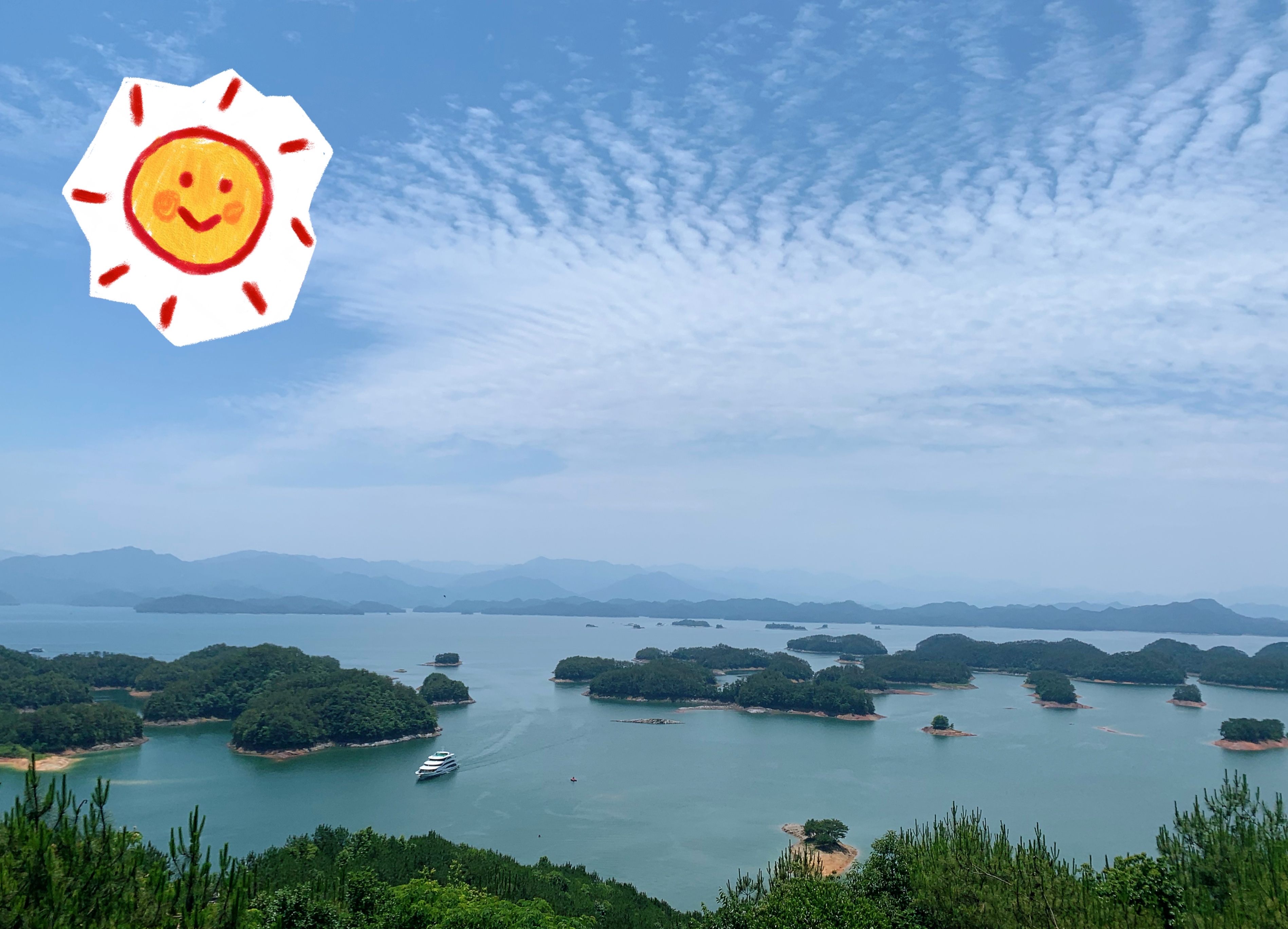 Qiandao Lake, Chun’an, China
About Me
I am a human geographer and urban planner with a strong foundation in geographic information science, cartography, and comprehensive planning. My research experience centers on designing and developing geospatial research methods, with a particular focus on uncertainty analyses, spatial decision support systems, and spatial optimizations. I am deeply interested in refining geospatial research design and validating existing methodologies to address complex planning challenges that lies at the intersection of public health, climate change, and social justice, etc.
I earned my Bachelor’s of Art degree in Geography with double minors in Computer Science and Japanese Studies from Middlebury College, where I had focused on learning open-source, geospatial analytical tools and their applications in health and hazard geography problems. After graduating, I enrolled in the Master’s of City Planning program at University of Pennsylvania. While at Penn, I’ve worked as a research scientist for the Communication Neroscience Lab at the Annenberg School of Communications through the PennPraxis Design Fellowship. My daily tasks include supporting neuroscience researchers to refine their research on the impact of point-of-sale tobacco marketing on neural activity and travel behavior, and optimizing R packages for analyzing human mobility patterns. Meanwhile, I am also a research assistant at the Lassiter Lab at the Weitzman School of Design, where I develop and parameterize a Multi-Criteria Decision Analysis (MCDA) model for infrastructure selection in water supply systems at Tampa Bay, FL to help local planners understand the complexity of water management challenges under climate change.